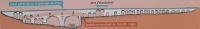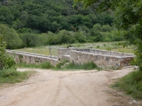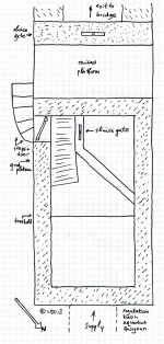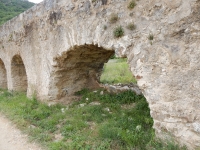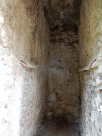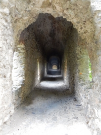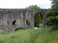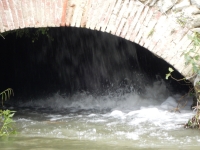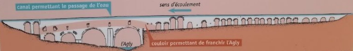
The arrow indicates the direction of the water supply, encased in the channel on top of the bridge. In rouge the passage for pedestrians.
| For the photo's, see below |
| Home / the complete website |
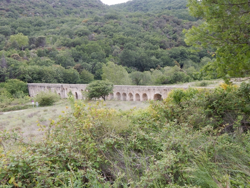
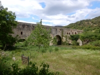
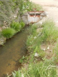
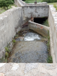
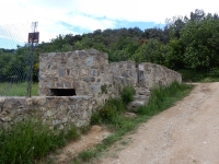
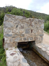
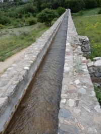
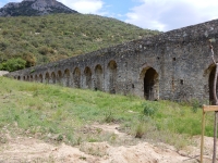
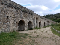
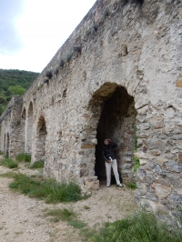
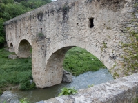
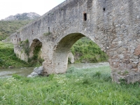
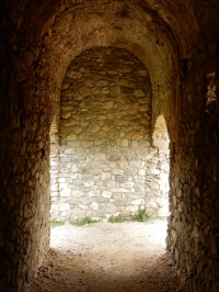
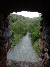
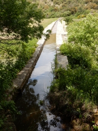
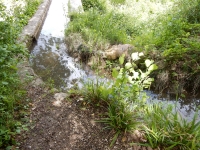
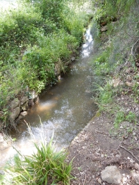
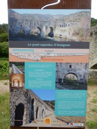
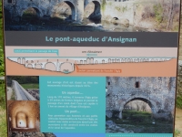
The aqueduct bridge of Ansignan is a bridge located in the town of Ansignan in the Pyrenees-Orientales. It is part of an aqueduct spanning the river Agly
used to irrigate crops on the opposite bank. It is built on the base of a Roman (viaduct) bridge, perhaps in the third century CE.
|
|
|
The arrow indicates the direction of the water supply, encased in the channel on top of the bridge. In rouge the passage for pedestrians. |
"Roman aqueduct"We went to see the aqueduct, the one sightof a surly village near the Pyrenees - surky because there're Cathars? or because they know they've tricked the visitors who write the road-signs and the guide-books. It's not Roman to my eyes - I would swear the man who bled the river Agly at the valley head and planted crops and married local women were Arabs. Straggling back from Poitiers they hid among these hills, remade their home here under fruitful clouds and under dolmens of long-forgotten Franks. Then their pretence saved them, but still they hate the name of Rome. They built the aqueduct, but they dare not say. Alistair Elliot With kind permission of the poet |
|
|
| Item | Info |
|---|---|
| Length | Over 1 km |
| Cross-section on bridge |
1,0 m x 0,45 m |
| Volume | ? m3/day |
| Gradient | ? % |
| Period | 2nd c CE |
| (Modern) Features |
|
| Recommended literature : |
|
| Recommended websites : |
|
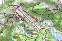
| How to visit : | Some 45 km west of Perpignan (southern France) |
| HOME | More literature on more aqueducts | Last modified: August, 2018 - (webmaster) |