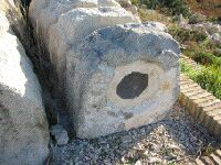
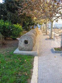
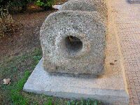
The city of Cádiz
Cádiz is one of the oldest cities of Europe, founded by the Phoenicians in the 9th Century BC, but possibly even as early as 1100 BC with the name Gadir. It was
conquered by the Romans in 209 BC and despite its remote location, developed into a rich, important city with the name Gades. Gades must have been a fascinating
place in antiquity. It was then the westernmost city of the Empire on the shore of the Atlantic Ocean beyond the pillars of Hercules at what was then the end of the
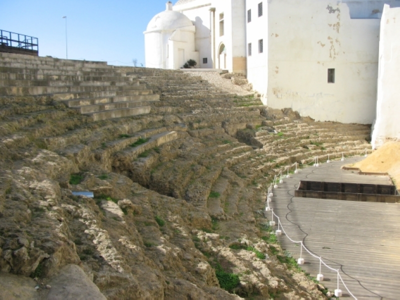
known world. Gades was a bustling metropolis of commerce, with temples, an amphitheatre, and a theatre all in the narrow space of two elongate islands forming
great natural harbours. According to Strabo, space was no problem "...since the inhabitants are nearly always at sea...". L. Cornelius Balbus Minor, friend of
Julius Caesar, and native of Gades expanded the city and enriched it with many monuments. The city grew rapidly under Augustus and the early emperors and
harboured the famous temple of Hercules-Mekart at the tip of the southern island. The city was so famous for its remoteness, that souvenirs were made in the shape
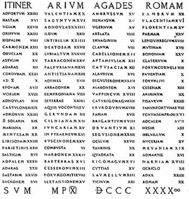
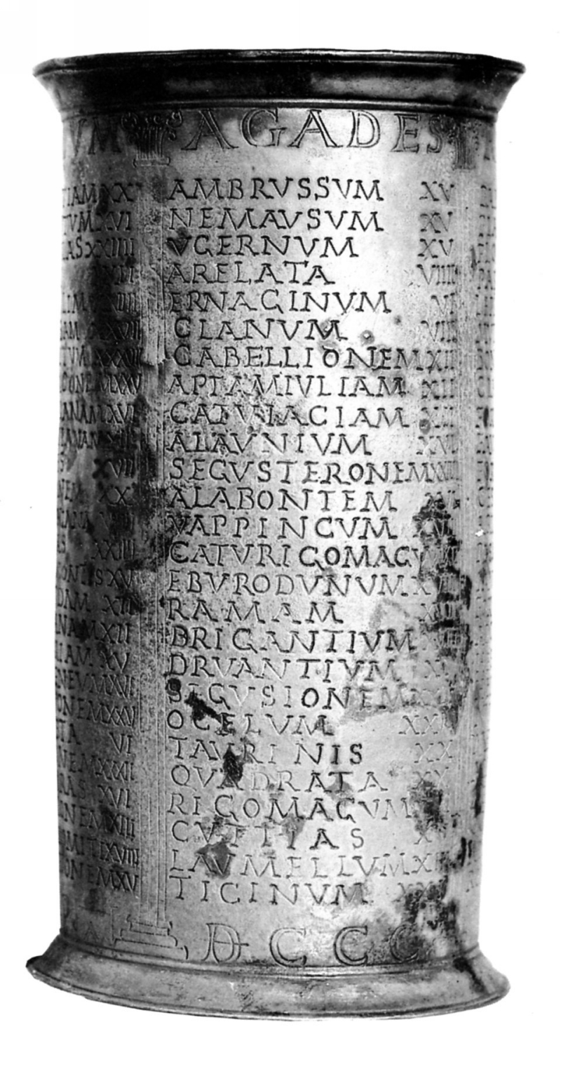
of silver milestones (known as the Vicarello silver cups) inscribed with a long list of towns between Rome and Gades.
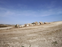
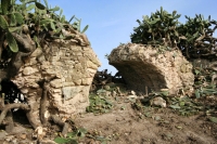
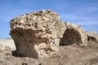
In the late empire the city fell into decline by lack of trade opportunities, which worsened when it was conquered by the Visigoths. Occupied by a people without
a strong seafaring tradition, and with the empire gone, the city reduced to a village in a field of ruins by the fourth century
|
 |
 |
|
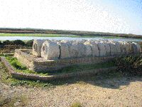
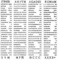
A silver cup - from the early first century CE - in the form of a milestone, has been found (with three other such cups) in Vicarello (Italy). On the cups the itinerary,
with distances specified from Cadiz to Rome (Itinerarim a Gades Romam). The illustrated side of one of the cups provides, among others places like (in the accusative,
which indicates the direction) Nemausus (Nimes), Arelata (Arles) Cabellio (Cavaillon), Segustero (Sisteron) Taurim (Torino) and Ticinum (Pavia).
|