Köln (Germany)
Roman aqueducts: Cologne / Köln (Germany)
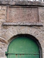
Köln - Colonia Claudia Ara Agrippinensium (CCAA)
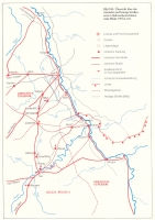
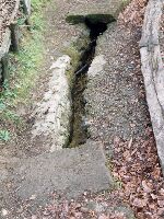
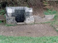
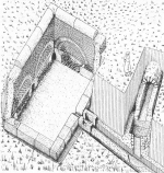
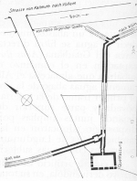
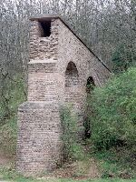
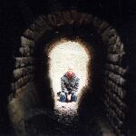
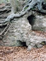
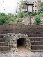
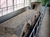
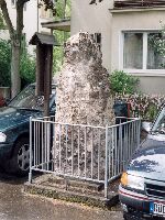
The Köln aqueduct is the longest one in western Europe and was built in two phases: in the first part of the first century the water need
was supplied by local wells and spring and by a short aqueduct channel which was fed by springs in the headland west of Köln. At the end of
the first century a large aqueduct was build fed by springs in the Eiffel, initially from Kallmuth, Urfey and Dreimühlen, and in the last
phase from Grüne Pütz in the Urft valley.
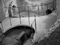
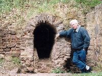
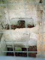
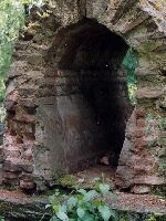
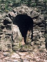
One interesting aspect is that the Kallmuth, Urfey and Dreimühlen sources lie in Devonian slates which provide soft water that can dissolve
the cement of the aqueduct. The Grüne Pütz source lies in one of the few limestone outcrops of the Eiffel, which was apparently purposely
tapped to feed the aqueduct. As a result, calice was depositited on the walls of the aqueduct and there was no danger for dissolution of the
cement of the structure itself. It is possible, of course, that the hard, calcite-bearing water of Grüne Pütz source was added to improve the
taste of the water, but it seems more likely that the engineers were aware of the problem imposed by the water from the slates and decided
to solve the problem by tapping the Grüne Pütz source. The aqueducts and its special features are well researched and documented by dr.
Klaus Grewe.
Wilke D. Schram
Köln (Cologne) - COLONIA CLAUDIA ARA AGRIPPINENSIUM
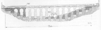
| Item
| Info
|
| Length |
95,4 km / in total 130 km |
| Cross-section |
0,5 x 0,9 m |
| Volume |
20.000 m3/day |
| Gradient |
0,15 % |
| Period |
1 / 2 c AD |
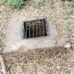
| Features |
- settling basins
- putei (shafts)
- double channel on
top op each other
- over a water shed
|
| Recommended literature :
| K. Grewe (1986): Atlas der römische Wasserleitung nach Köln
|
| Recommended website :
| none
|
| How to visit :
| Apart from the Atlas (see above) dr. K. Grewe pubished an very informative
and detailed itinerary 'Der Römerkanal-Wanderweg, ein archäologischer Wanderführer'
from the start of the aqueduct near Nettersheim to Köln (Cologne)
|