Metz (France)
Roman aqueducts: Metz (France)
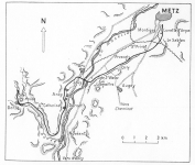
Metz - DIVODURUM
It is generally accepted that the aqueduct S of Metz brought its water to Metz although the last
kilometers of the conduit are missing. Its source was Les Bouillons north of Gorze.
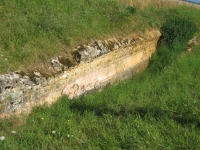
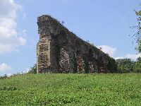
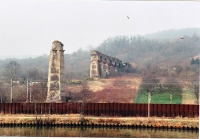
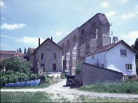
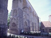
In Ars-sur-Moselle a huge aqueduct bridge crossed the Moselle river.
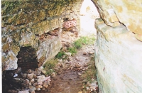
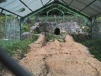
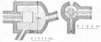
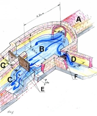
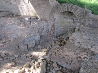
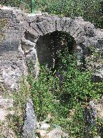
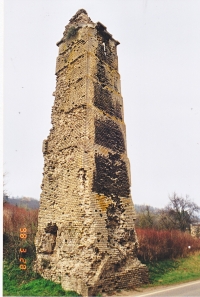
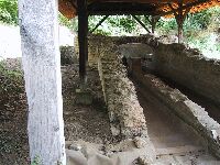
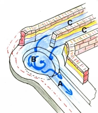
In Ars the conduit was split in a castellum so
that the crossing was made with two seperate channels to the second castellum in Jouy-aux-Arches
on the W side of the river, where both channels were united and the water was
conveyed direction Metz. The Ars castellum (E of the Moselle) also acted as a cleaning basin.
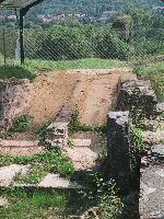
Local water sources added their water in / near the castella on both sides of the Moselle river.
Wilke Schram
Photo's also from Driek van Opstal
Metz - METTIS
| Item
| Info
|
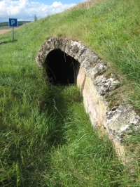
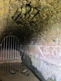
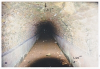
| Length |
22 km |
| Cross-section |
1,2 x 1,7 m |
| Volume |
15.000 m3/day |
| Gradient |
0,1 % |
| Period |
early 2nd c AD |
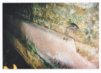
| Features |
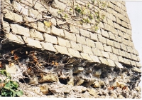
- some putei (manholes)
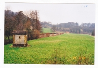
- castellum aquae in Ars-sur-Moselle
- aqueduct bridge (1100 m) with twin channels
- castellum aquae in Jouy-aux-Arches
|
| Recommended literature :
| K. Grewe: Römische Wasserleitungen nördlich der Alpen (in: Die Wasserversorgung antike Städte vol 3 (1988) pag 76)
|
| Recommended website :
| Archeographe.net
|
| How to visit :
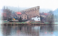
| For Jouy-aux-Arches take the N57 7 km south from Metz to Nancy.
Ars is on the opposite side of the Moselle river.
|