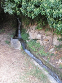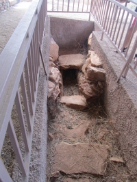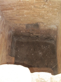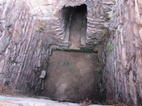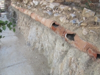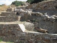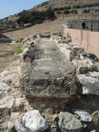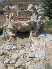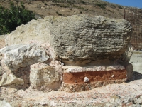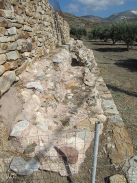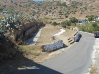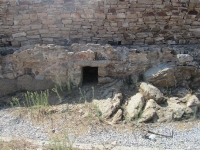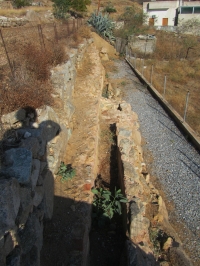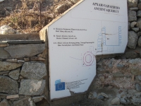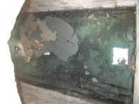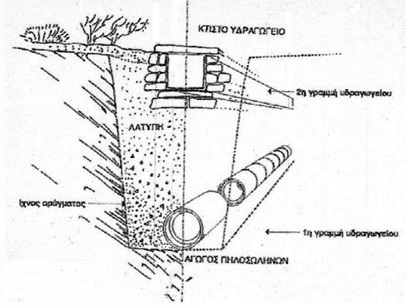
- Aqueduct construction
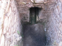
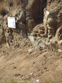
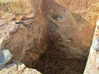
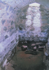
- Trench
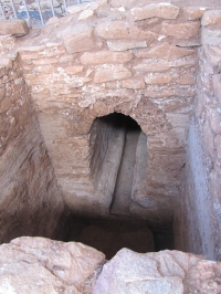
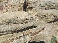
- 1st phase of the aqueduct
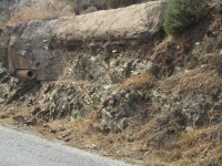
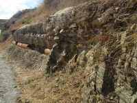
- 2nd phase of the aqueduct
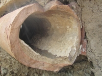
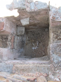
- Pipeline of clay pipes
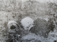
- Earth filling / mud
| For the photo's, see below |
| Home / the complete website |
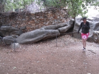
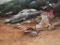
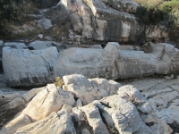
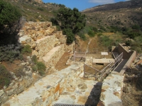
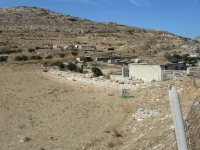
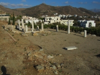
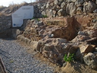
In antiquity the area of Melanes was of great importance for the island of Naxos, both economically and culturally. Especially in the area around Flerio (east of Mili) large strata of good quality marble exists close to the surface, which promoted the development of Greek marble architecture and sculpture.
|
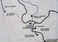
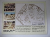
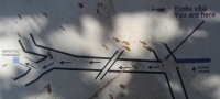
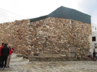
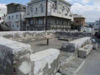
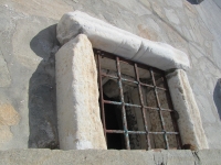
Flerio aqueduct
|
| Location | Latitude | Longitude | Altitude (m) |
|---|---|---|---|
| Start at Flerio car park | 37 05 05 | 25 27 00 | |
| Entrance of tunnel | 37 05 19 | 25 27 01 | 204 |
| Exit of tunnel | 37 05 26 | 25 27 03 | 200 |
| Parking lot | 37 05 57 | 25 26 31 | |
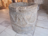
| Katsopirno | 37 05 55 | 25 26 32 | 140 |
| Leftera | 37 05 59 | 25 26 29 | 131 |
| Aimasos | 37 05 58 | 25 26 24 | 120 |
| Louroi | 37 05 55 | 25 25 48 | 100 |
| Faraggas | 37 06 05 | 25 25 30 | 96 |
| Agios Thalelaios | 37 05 53 | 25 25 16 | 74 |
| Agios Isidoros | 37 05 18 | 25 24 32 | 65 |
| Agios Stephanos (Agidia) | 37 06 00 | 25 23 33 | 40 |
| Trani Fountana (Chora) | 37 06 28 | 25 22 42 | 9 |
| Note: altitudes derived from Google Earth (Oktober 2014) | |||
| Item | Info |
|---|---|
| Length | 11 km |
| Cross-section | m x m |
| Volume | ?? |
| Fall | 1,8 % |
| Period | 6th c BCE / 1st c CE / 4th c CE |
| Features |
|
| Recommended literature : |
|
| Recommended websites : | |
| How to visit : | see GPS-coordinates above |
| HOME | More literature on more aqueducts | Last modified: October, 2014 - (webmaster) |