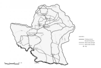
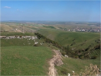
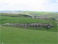
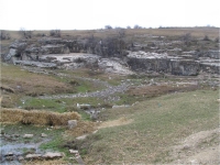
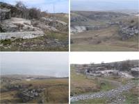
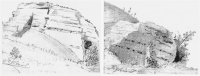
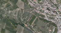
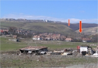
Turda - POTAISSA
| Item
| Info Mil
| Info Civil
|
| Length |
5,000 m |
5,000 m |
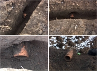
| # Pipes |
10,000 |
12,800 |
| Internal diam |
0.125 m |
0.255 m |
| Volume |
1,300 m3/day |
4,300 m3/day |
| Gradient |
3 % |
0.9 % |
| Period |
2nd half 2nd c |
2nd half 2nd c |
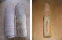
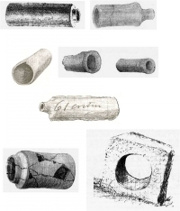
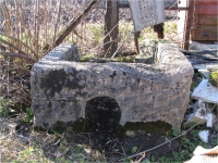
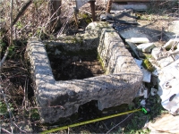
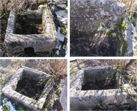
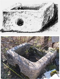
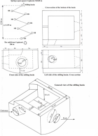
| Features |
- series of stilling basins
|
|
|
| On the map
| Present name
| Distance
|
| Porolissum |
Moigrad-Jad |
4 |
| Certiae |
Romita |
17 |
| Largiana |
Romănaşi |
15 |
| Optatiana |
Sutoru |
16 |
| Napoca |
Cluj - Napoca |
24 |
| Potaissa |
Turda |
12 |
| Salinae |
Ocna Mureş |
12 |
| Brucla |
Aiud |
12 |
| Apulum |
Alba Iulia |
8 / 15 |
| Blandiana |
Vinţu de Jos |
(8) |
| Acidava |
Doştat |
(15) |
|