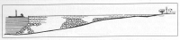
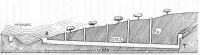
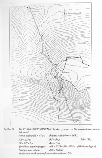
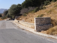
Mole of Eupalinos
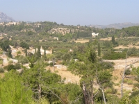
Area of the source
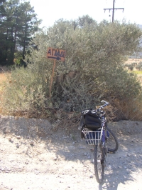
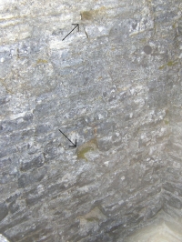
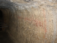
Agiades sign
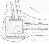
Agiades 2006
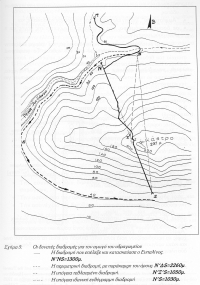
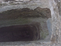
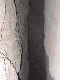
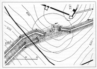
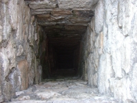
N-side and tunnel
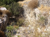
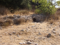
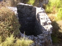
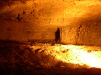
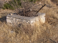
Natural basins
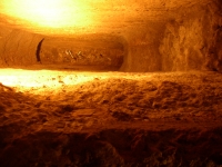
Natural basins
Natural basins
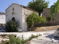
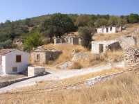
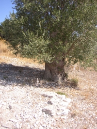
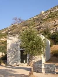
The old church of Agiades
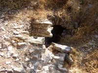
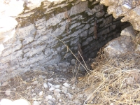
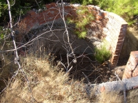
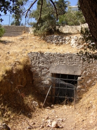
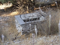
Sealed entrance
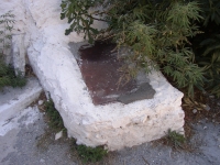
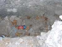
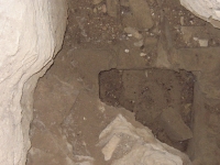
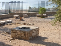
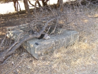
Basin under the church
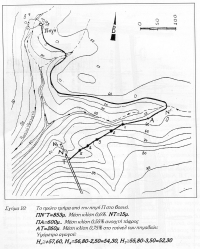
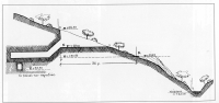
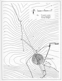
Bird's-eye view
Start of the aqueduct
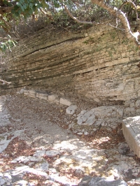
Detail of the channel
N-side
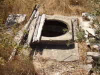
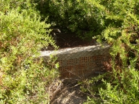
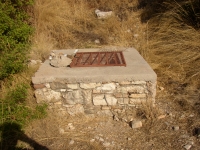
First manhole (3)
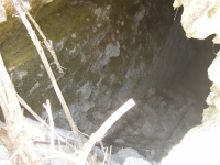
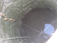
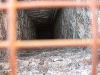
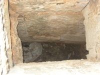
View in the manhole
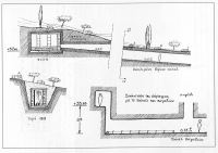
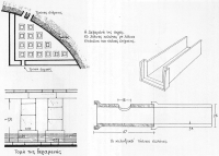
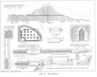
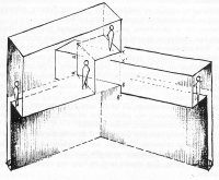
Cross-sections of the N-part
Manhole (4)
View in manhole (4)
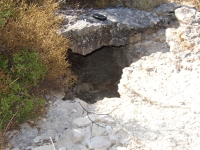
Blocked manhole
New top-construction (9)
View into manhole 9
Manhole (10)
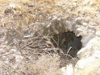
Shafts before N-entrance
Manhole (16)
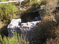
Partly reconstructed
Manhole (15)
Holes for beams
Manhole
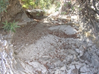
Channel?
Last manhole N-side
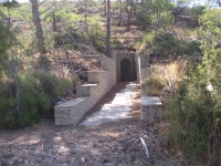
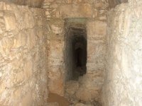
N-entrance
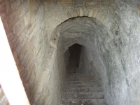
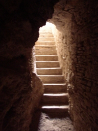
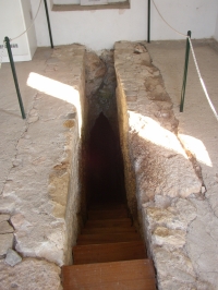
Staircase at the N-entrance
Levels near the N-entrance
Room close to the entrance
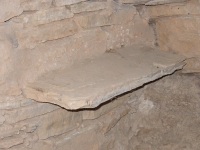
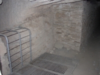
Room with shelf
Original conduit
Basin with pipes
Transition basin
Arched ceiling
Metal reinforcements
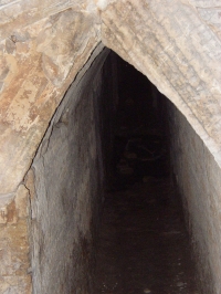
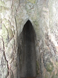
Gabled ceiling
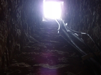
Towards the N-entrance
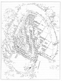
Overview
Several elements
of the aqueduct
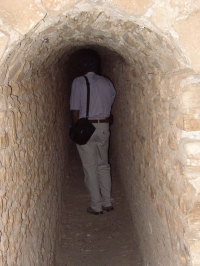
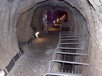
S-entrance for the public
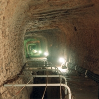
Start of the lower tunnel
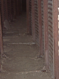
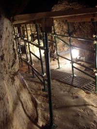
Lower tunnel reinforcements
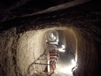
Public access
Gabled roof
Manhole for direction finding
The same manhole in daylight
View into the manhole
Protective measures
Lower level of the tunnel
Lower level of the tunnel
Lower level of the tunnel
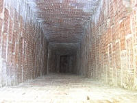
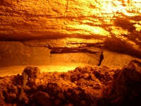
View into the main tunnel
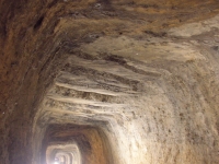
Ceiling of the tunnel
Measurement marks
Plateau for oil-lamps
Eupalinos tunnel
Behind the barrier
Central part
Details meeting point
Meeting point in 3D
Manhole near S entrance
View into manhole (39)
Manholes (40) near
the parking lot
Archaic manholes
Protective measures
Manhole (46A) plus GPS
Last visible manhole (47)
View into manhole (47)