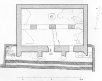
New research: the Roman aqueduct of SamosIn recent years T.N. Dimitriou researched the course of the Roman aqueduct of Samos, which is about 15,5 km long and started west of Pythagorion, the ancient city of Samos. For the full text of his informative report, see below.The research was not an easy task, for the aqueduct ran in a rough and difficult accessible terrain. After careful evaluation of the different candidates, Dimitriou found the Zastano spring, north of Myloi, the most plausible candidate as the prime water source; two other candidates could have been in use as a supplement, but than an extra bridge - of which no remains were found - would have been necessary. The basis for this aqueduct was an open, free flow channel with a non-uniform gradient (0,3 - 6,4%) plus a series of substructions, small arcades plus at least 10 smaller and larger bridges. No traces of pipes have been found along the main line. The quality of the construction of the channel was moderate to poor; near its destination the quality improved (sic). On quite a few places clear signs of repairs, improvements an even a by-pass, were found. These could have been the result of the moderate construction work and / or seismic activities during the operational time of the aqueduct. Branches Some 1100 and 450 m before the last visible remains of the channel, branches were built to feed the large bath house and the agora of Samos respectively. Both branches were built with ceramic pipes, probably because of the extreme gradient of the terrain. "The necessary building materials - mainly stone - were readily available in situ, ensuring a quick and above all economical construction", writes Dimitriou. Along the course of the aqueduct several lime kilns have been found. "No major sections of underground routing of the aqueduct were found. The sole exceptions may have been in the section that went through the settlement of Chora, and one more at location point Km8+750". Dating The dating of this Roman aqueduct is still a problem which only can be solved by additional and detailed archaeological research. Its 'raison d'etre' could have been a decreasing water supply by the Agiades spring house of the Eupalinos aqueduct and / or the increasing water demand of a growing population of Samos-town. Capacity At the end of his article, Dimitriou makes several estimates of the water capacity of the Roman aqueduct: given its dimensions (0,5 x 0,5 m) the theoretical capacity could have been 9.000 m3/day, which is more than the sum of the water supply of the three most likely springs. After some secondary thoughts, Dimitriou estimates the real capacity to 2.000 m3/day, more or less in line with the estimated number of inhabitants. Summary by Wilke D. Schram, based on: T.N. Dimitriou: The Roman aqueduct of Samos, in: G.A. Aristodemou and T.P. Tassios (eds) Great Waterworks in Roman Greece, aqueduct and monumental fountains (2018) pag 131 - 146. |
|||||||
|
|||||||
|
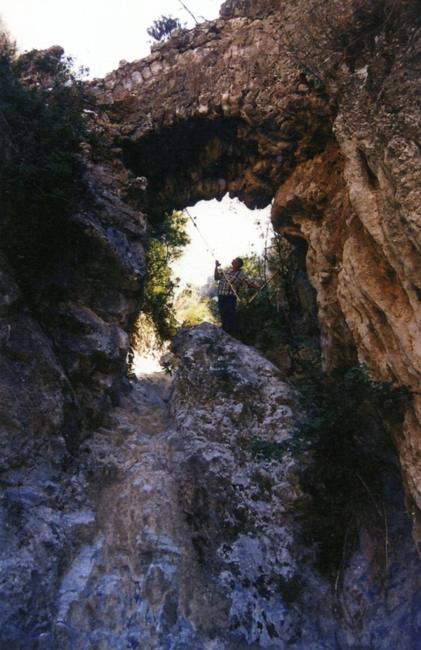
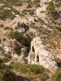
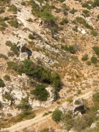
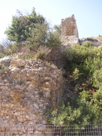
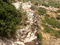
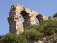
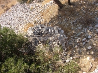
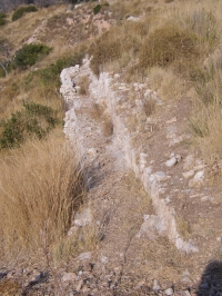
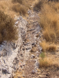
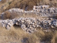
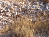
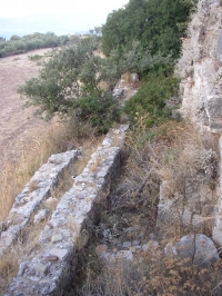
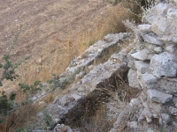
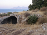
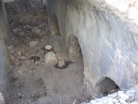
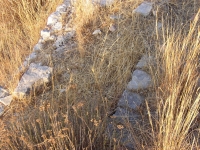
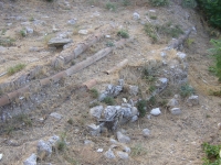
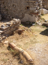
Top left: Small bridge with natural megalithics (Km 0+829)
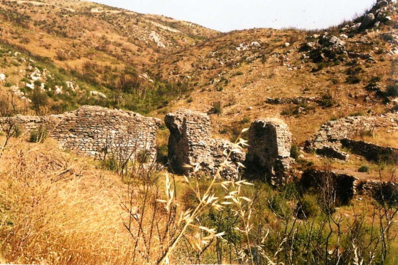
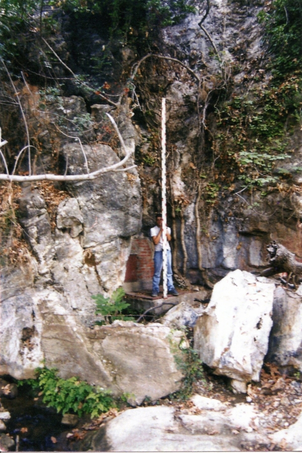
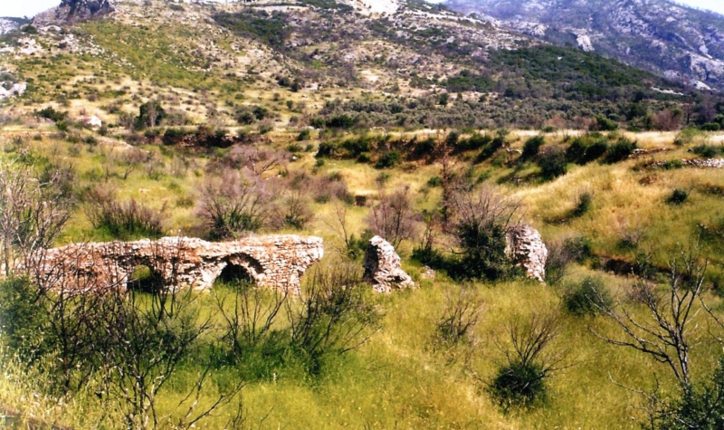
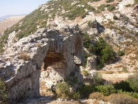
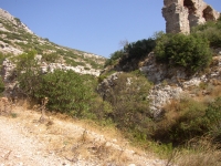
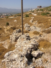
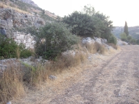
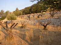
Top right: Relics of the bridge (Km 3+033) Bottom left: First bridge of Nerotrouvia (Km 4+311) Bottom right: The spring of Zastano Photo's: T.N. Dimitriou |
|||||||