
 Segobriga (Spain)
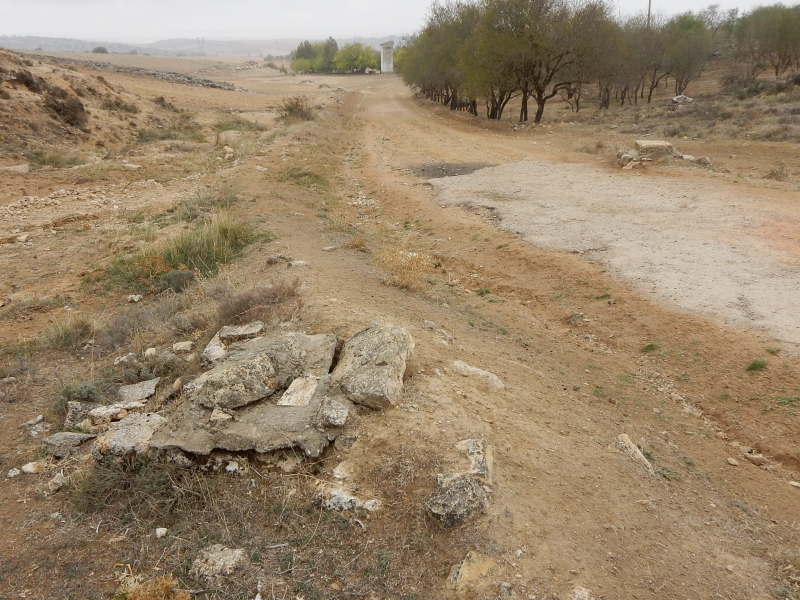
Sloping terrain under which an aquifer - a water bearing subterranean layer - is situated, which
was tapped by the Romans by means of infiltration galleries. For access several vertical shafts
have been excavated of which only the shaft tops are visible. On top of the photo 4 (only 3 are
visible) shafts, middle right and in the front other ones. Ancient, rework and/or modern
versions? The Fuente de la Mar is near the tower.