|
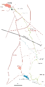
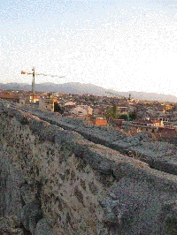
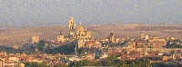
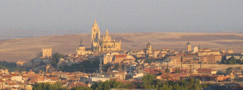
Segovia and its surroundings
| For the photo's, see below |
| Home / the complete website |
|
|

|
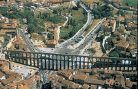
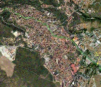
| Segovia from the air |
|
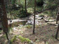
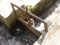
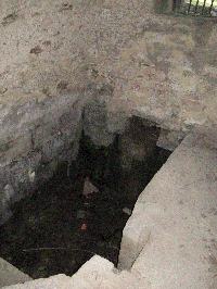
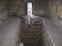
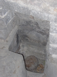
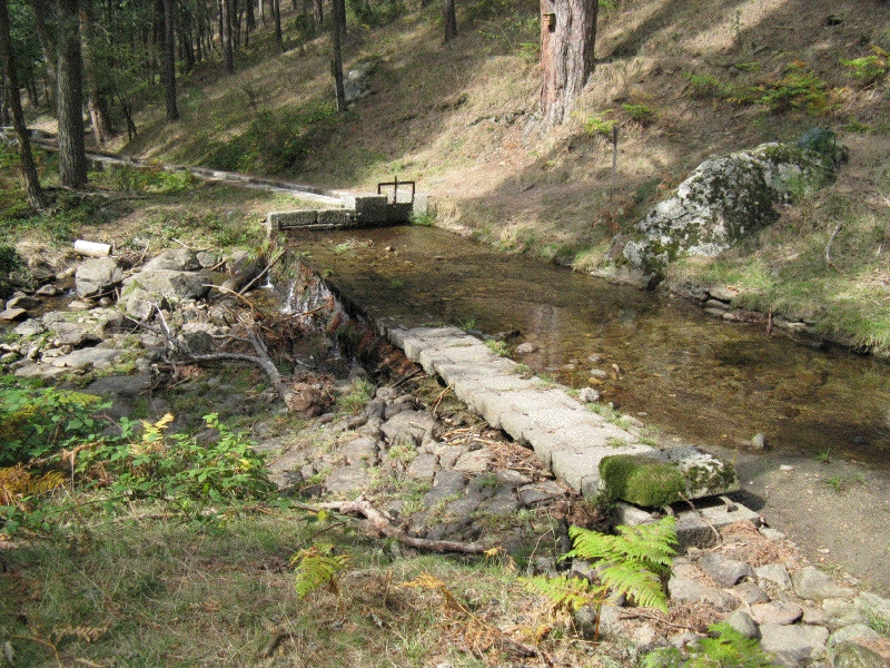
| The source |
|
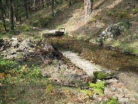
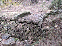
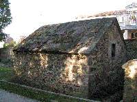
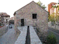
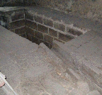
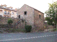
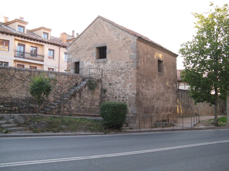
| Casa Aqua |
|
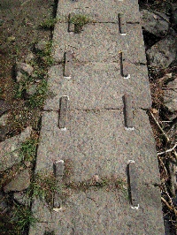
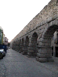
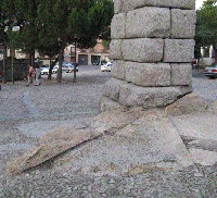
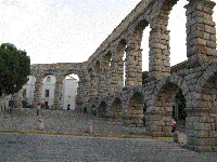
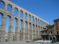
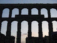
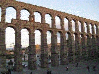
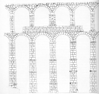
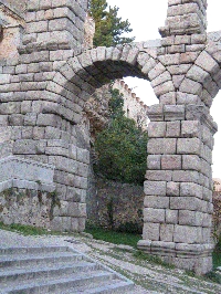
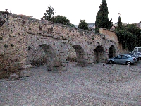
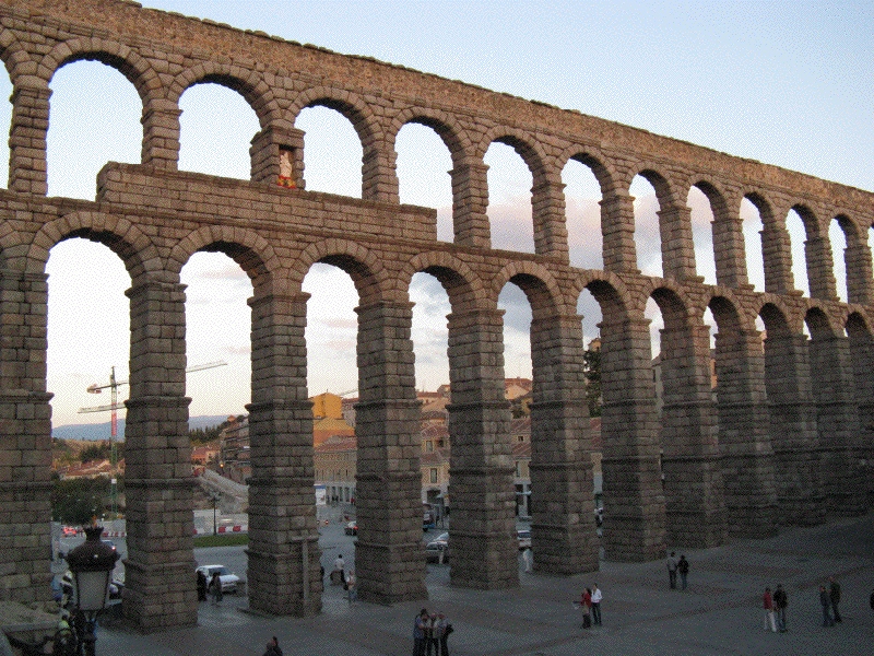
| The aqueduct bridge |
| Item | Info |
|---|---|
| Length | 14,965 km |
| Cross-section | 0,6 m x 0,6 m |
| Volume | 1800 - 4500 m3/day |
| Gradient | 1,6 % |
| Period | Augustan |
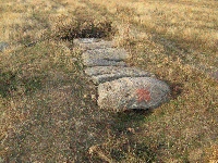
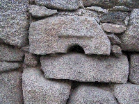
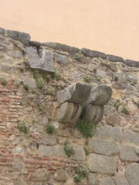
| Features |
|
| Recommended literature : |
|
| Recommended website : | |
| How to visit : | see above |
| HOME | More literature on more aqueducts | Last modified: November, 2007 - (webmaster) |