fed by the Rec del Selva
 |
 |
 |
| Moli del Pont | Rec de la Selva | Moli Moixo |
 |
 |
 |
| Moli Joan Barcelona | La Rescola | Moli Joan Barcelona |
 |
 |
 |
| Moli Muntanya | Pont Sec | Moli Ramon i Barnat Aluder |
Photo source
| For the photo's, see below |
| Home / the complete website |
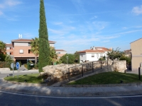
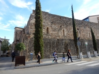
La Selva del Camp is a nice and small (6.000 inhabitants) town in the area of Reus, 30 minutes by car from Tarragona (Spain). A settlement under the old town
was uncovered by the excavation of an Iberian silo under the Placeta de Sant Andreu. Though no continuation with any Roman settlement has been found,
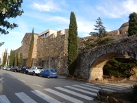
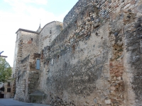
ample evidence in the rest of the municipal territory demonstrates this. Yet the first walled community dates back to the 13th c and was smaller than the present one.
In 1165 the town was granted its Carta de Poblacio (Municipal Charter), placing it under the Tarragona Archbishop's dominion.
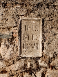
The walls that shaped the current old town of La Selva date from the 14th c when Peter IV of Aragon (1336 - 1387) granted permission to repair the old ones.
|
fed by the Rec del Selva
Photo source |
|
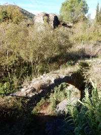
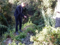
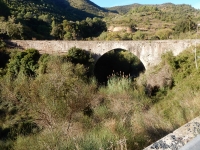
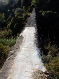
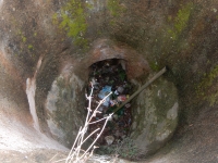
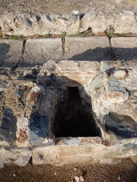
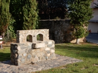
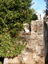
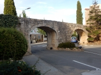
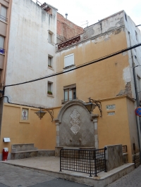
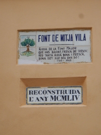
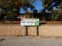
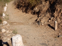
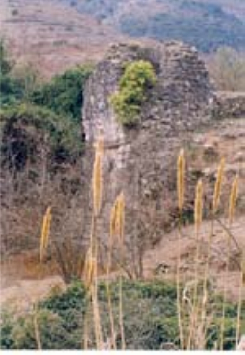
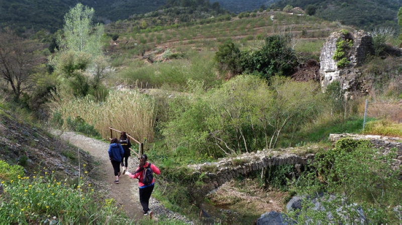
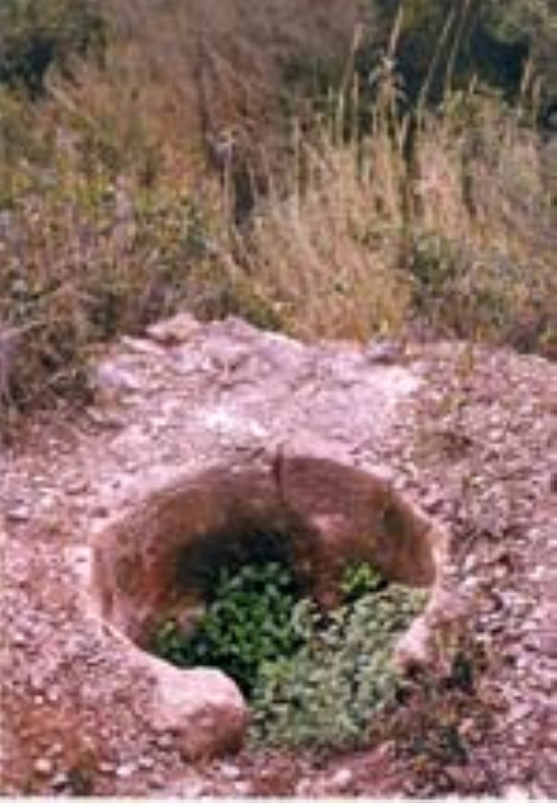
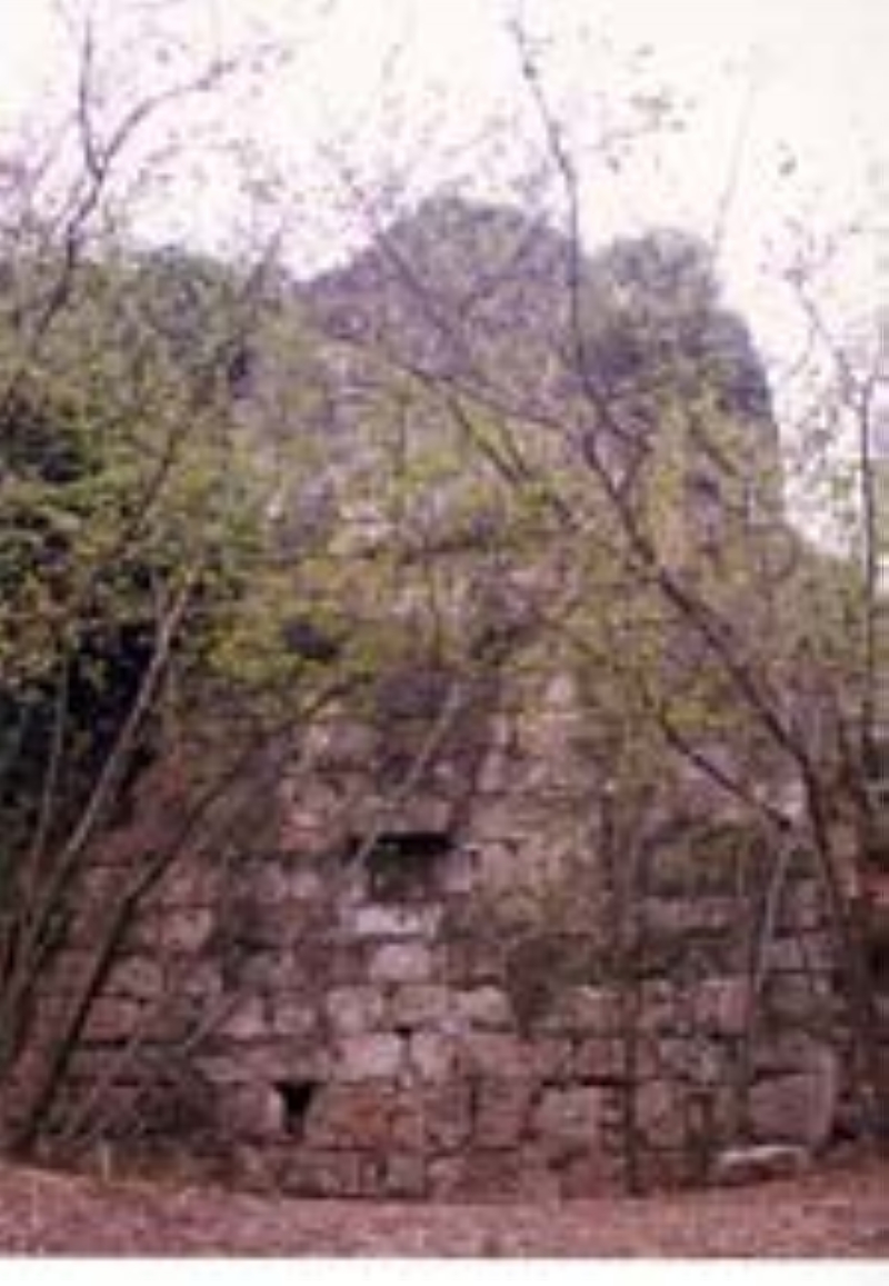
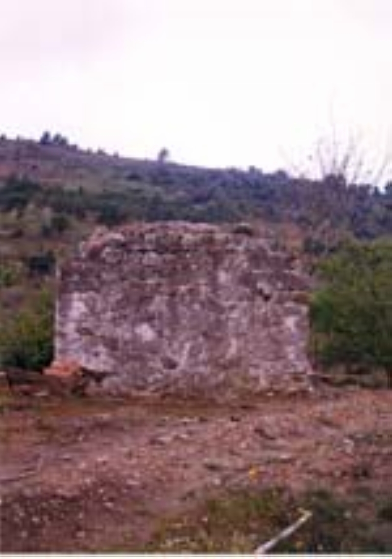
The actual walk in beautiful surroundings The start of the walk along the Rec de la Vila is opposite the Sercotel in La Selva del Camp, at the opposite side of the roundabout in the Carrer dels Molins / Cami del Molins, see signpost. The complete route - 6 km one way - has been adequately signposted. A good map - available at the Tourist Office inside the La Selva castle - might be of help (Xarxa de senders locals - local network of trails). On the roundabout itself one can find the remains of the Moli Mes Avall (or) del Rovellat (or de la Pallota). Two alternatives: Walking down into the town one cannot overlook the remains of a substructure and aqueduct bridge (Els Ponts) over the Raval de Sant Rafael-street. Note the small aqueduct bridge model / fountain. The aqueduct continues on top of the wall of the Castle. A little further was the site of the Moli des Canals, near the present Placeta Sant Andreu. If you want to make a short-cut, start your walk at the Pont Alt, 3 km out of town. There is a parking lot along the TP7013-road from La Selva to Vilaplana. Walk 50 m upwards - be careful because of the road traffic. When one follows the dirt road down to the river, there is a small bridge over the Riera de la Selva. From there the routes in both directions are signposted. You can follow the trail upwards to Tres Aiges (3 km one way) and Les Pins (another km one way). |
|
||||||
|
| HOME | More literature on more aqueducts | Last modified: November, 2017 - (webmaster) |